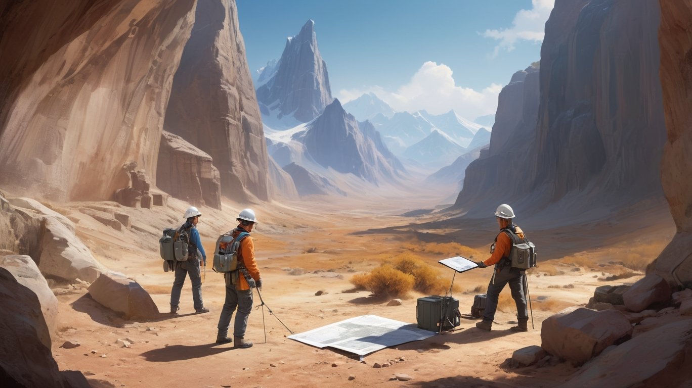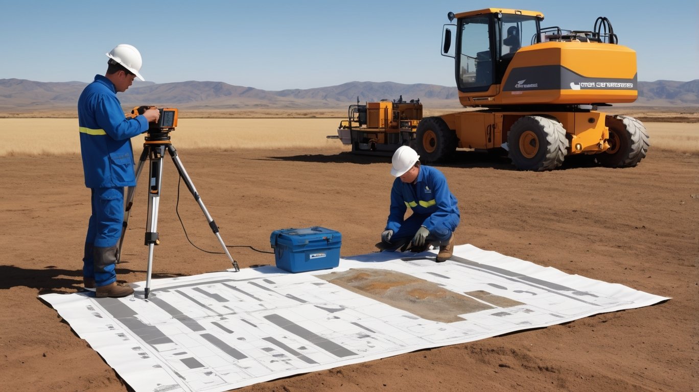
Geologists and Surveyors
🪨 Understanding the Layers Beneath
Our expert geologists and surveyors work at the intersection of science and land. By studying rock formations, soil layers, and geological structures, they help unlock the hidden history of our planet and guide safe, sustainable development.
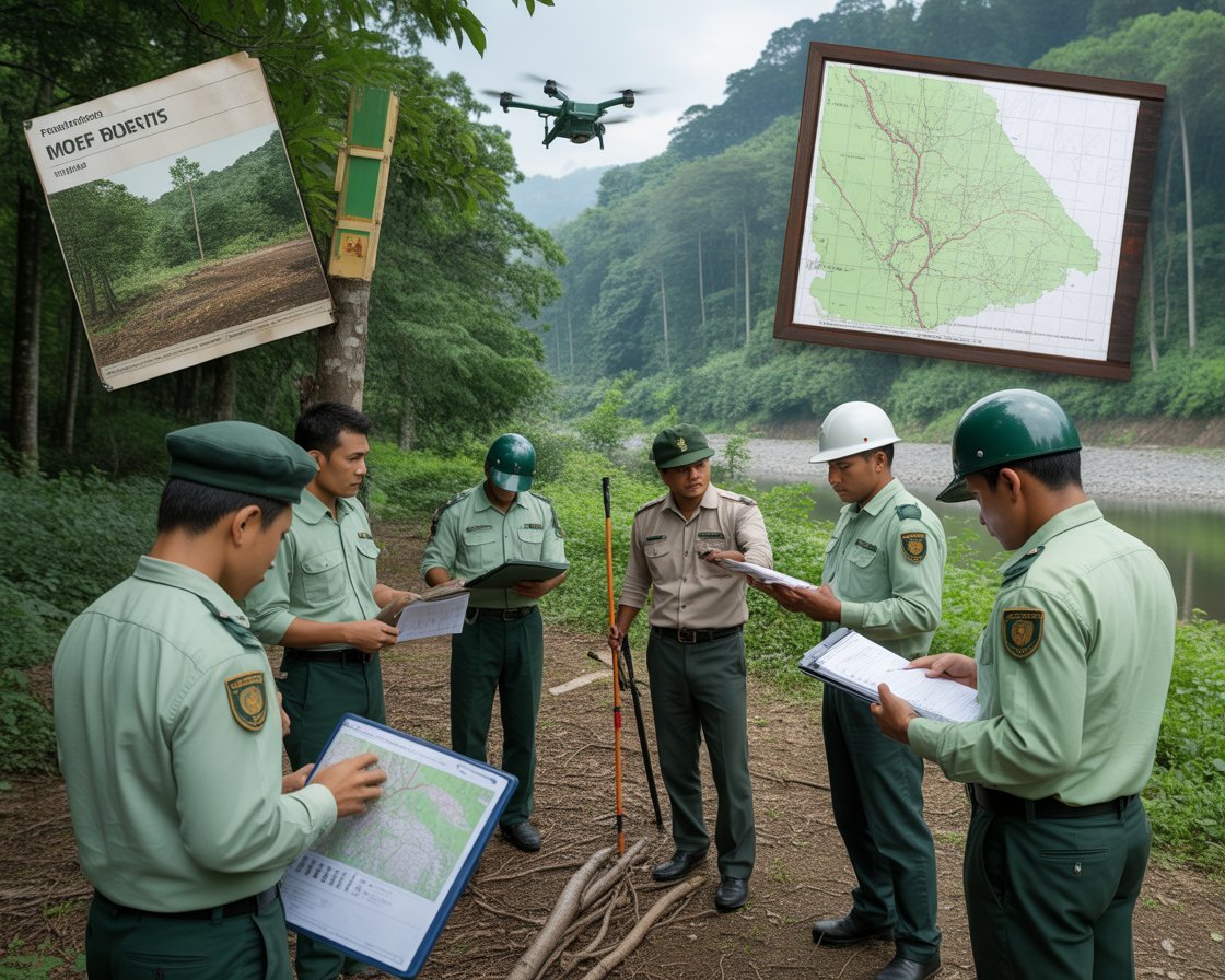
🗺 Precision Mapping & Ground Surveys
Using advanced tools like GPS, satellite imagery, and geological mapping software, our surveyors accurately chart the terrain. This data is critical for planning infrastructure projects, identifying mineral resources, and assessing environmental impact.
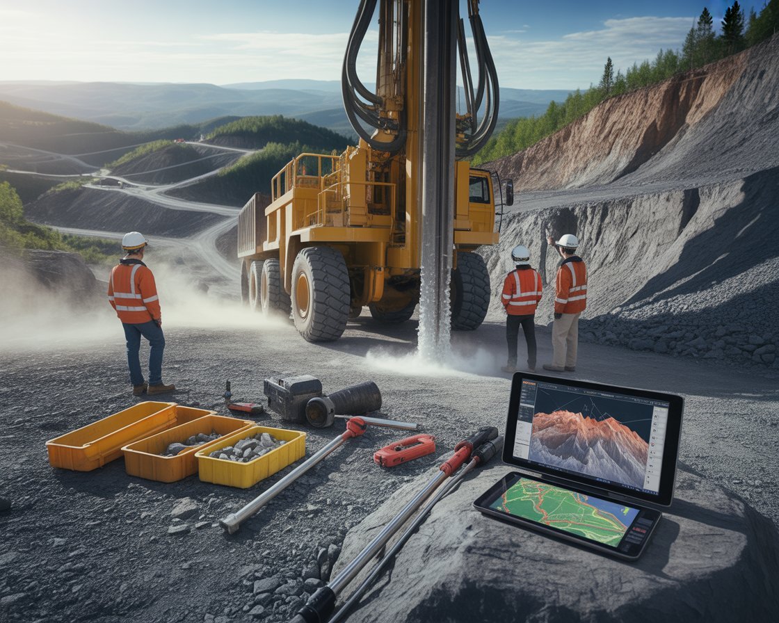
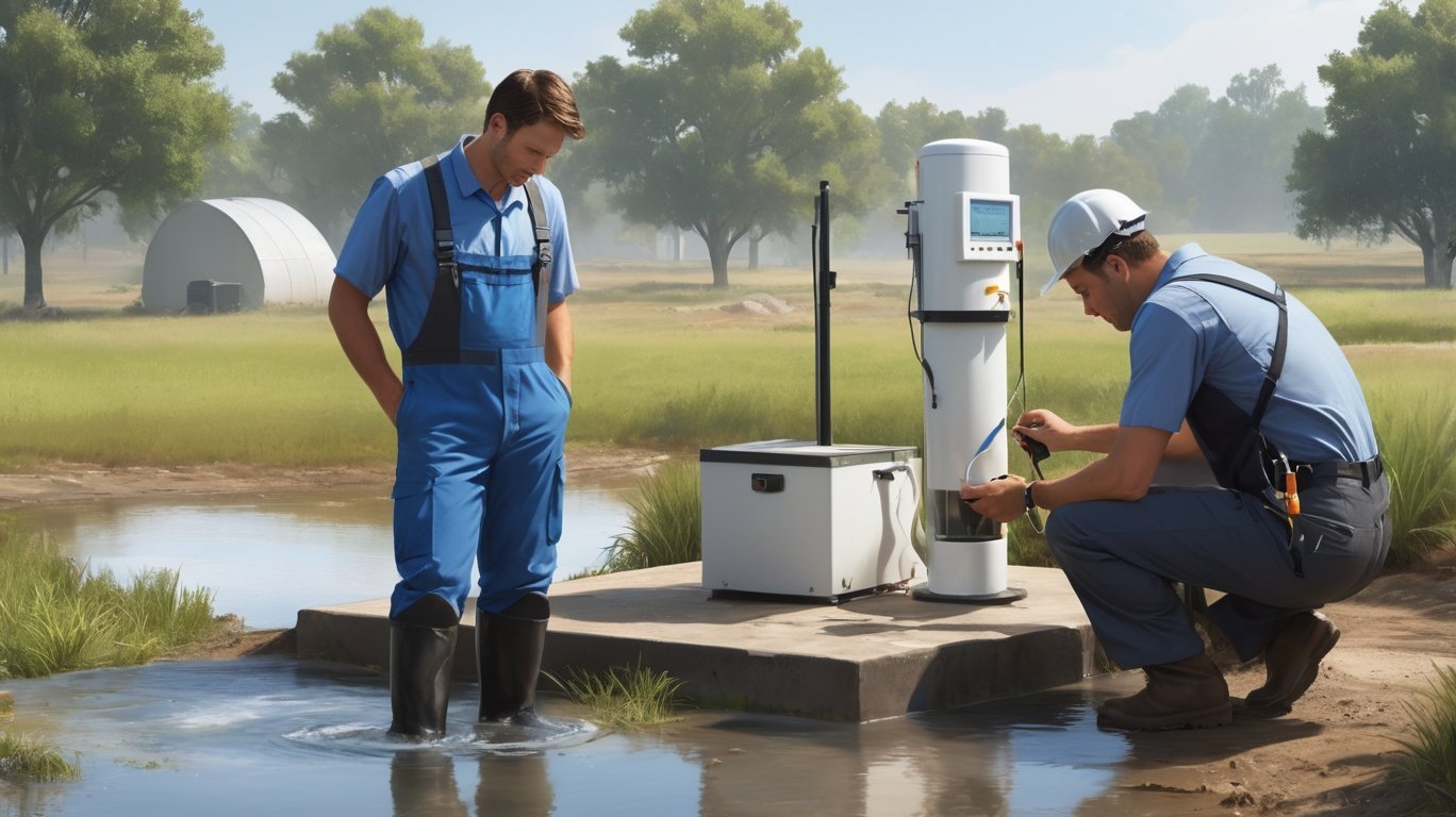
🔍 Risk Mitigation & Reporting
We provide actionable insights to mitigate geotechnical risks and ensure regulatory compliance.